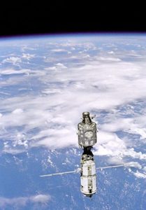
Japan has launched its second ‘Michibiki’ satellite to build a homegrown precise geolocation system that will help boost accuracy of car navigation systems and smartphone maps.
The satellite was launched through an H-IIA rocket that blasted off from the Tanegashima space centre in southern Japan.
“The launch was a success,” a Cabinet Office spokeswoman said.
Satellite geolocation systems are used in a variety of applications ranging from car navigation to internet browsing on smartphones. Initially, such systems were created for the US military.
Japan currently uses US-operated Global Positioning System (GPS), and has plans to send four ‘Michibiki’ satellites into orbit. In Japanese, Michibiki means guidance. The first satellite of this series was launched in 2010. Remaining two satellites are scheduled to be launched by March 2018, and these satellites would cover Japan as well as the whole Asia-Oceania region.
The Japan would still need the American GPS that is currently widely used in the country. Supplementary satellites like ‘Michibiki’ are however important as mountainous terrain and high buildings sometimes interfere with its signals.
“After we establish the four-satellite network, its use can expand into self-driving cars, agriculture, construction and other fields,” Yosuke Tsuruho, a state minister in charge of space policy said.
